Geographic Information Systems

Imagine having the ability to layer sets of data showing different variables of a project to help inform the decision making and organization process. Now imagine making revisions to that project in real time and having the ability to distribute information seamlessly to all members of the project team. That is the power of Geographic Information Systems (GIS).

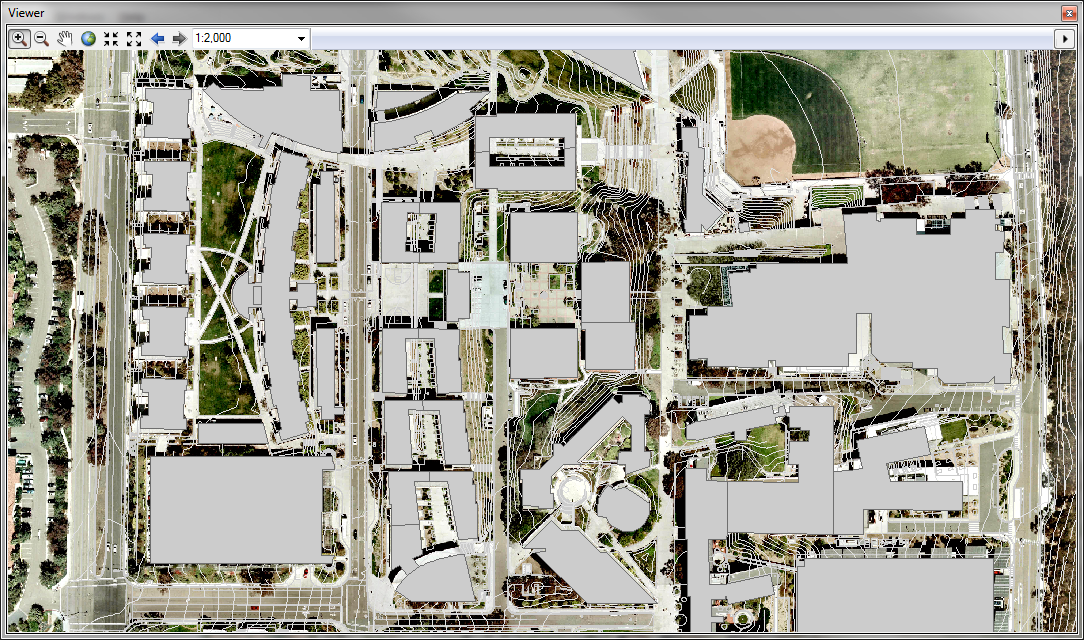
Latitude 33 is pleased to offer the latest in GIS technology. Geographic information systems integrates hardware, software and data capturing, managing, analyzing and displaying of geographically referenced information. GIS allows users to view, understand, question, interpret and visualize data in many ways that reveal relationships, patterns and trends in the form of maps, globes, reports and charts. GIS can be integrated into any enterprise information system framework.
Experience

  • Land Use and Zoning
  • Site Planning
  • Public Utilities
  • Telecommunication
  • Orthorectification
  • Mosaicing/Image Processsing
  • Data Conversion
  • Data Capture
  • Data Acquisition
  • Suitability Analysis/Site Selection
  • Visualizations
  • Database Design
  • Needs Assessment & Planning
  • Spatial Analysis
  • System Implementation

Benefits

  • Faster response time during emergencies
  • Smarter forecasting, master planning, & budgeting
  • Reduced maintenance cost & increase efficiency
  • Intelligence objects with linked external files & analytic capabilities
  • Large catalog of public maps & resources available online
  • Allows for map/datum projections
  • Can be linked to numerous existing public data sets
  • Up-to-date, accurate asset data
  • Quick queries and data gathering
  • Improved compliance reporting for local, state, & federal agencies